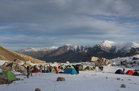
In Azerbaijan, glaciers and perennial snowfields are primarily confined to a very small area located in the highest peaks of the Greater Caucasus Mountains. The main reason for this is the exceptionally high snow line, which reaches approximately 3900 meters in the Eastern Caucasus, particularly in the southeastern part of the Greater Caucasus Mountain system that extends into Azerbaijani territory. The snow line in the Black Sea ranges of the Greater Caucasus (in Abkhazia) is much lower, at only 2800 meters. Therefore, glaciers and perennial snow cover more extensive areas in the western and central parts of this mountainous region. The Southeastern Caucasus glaciers cover 3.62 km² at Bazardüzü Peak, 1.0 km² at Bazaryurd Peak, 0.51 km² at Tufan Peak, and 1.08 km² within the Shahdag Massif. The majority of these glaciers (5.64 km²) are located in the Qusarçay basin, with an additional 1.01 km² in the Qudyalçay basin. Glaciers make up 0.81% of the Gusarchay basin and 0.13% of the Gudyalchay basin. Despite the relatively small extent of these glaciers, they exert a significant influence on the hydrological regime of the rivers, playing a crucial role in their sustenance. In the Lesser Caucasus, glacial formations are confined to a small area (0.15 km²) on the Kaputjugh peak of the Zangezur Range.These glaciers are mainly located in the Okchuchay basin, with a smaller portion situated in the Gilanchay basin. The total area of snowfields above 3900 meters in Azerbaijan’s highest peaks reaches up to 20 km², most of which are concentrated in the high peaks of the Greater Caucasus.
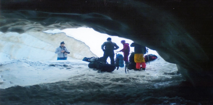
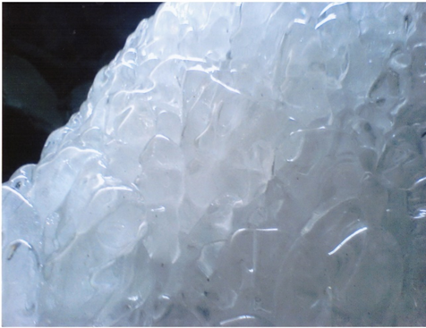
Thanks to our research, it was determined that both the reduction and the melting process in the glacier area are accelerating, the number and size of the cracks on the glacier are increasing, the glacier tongue is retreating every year, and the water level and consumption in the Mahmuddara River, which flows out of the glacier tongue, is increasing. . These observations indicate an intensification of the melting processes within the glacier. The glacier’s parameters and coordinates have been determined using GPS and laser rangefinders.intensity of the melting process in the glacier. The parameters and coordinates of the glacier were determined by GPS and laser rangefinder.


